
DJI Mavic 3 Enterprise Series
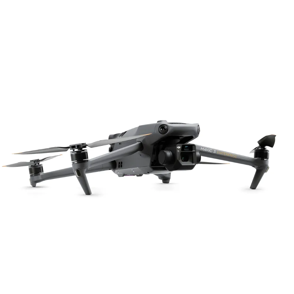
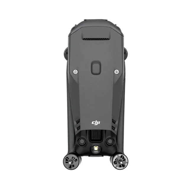
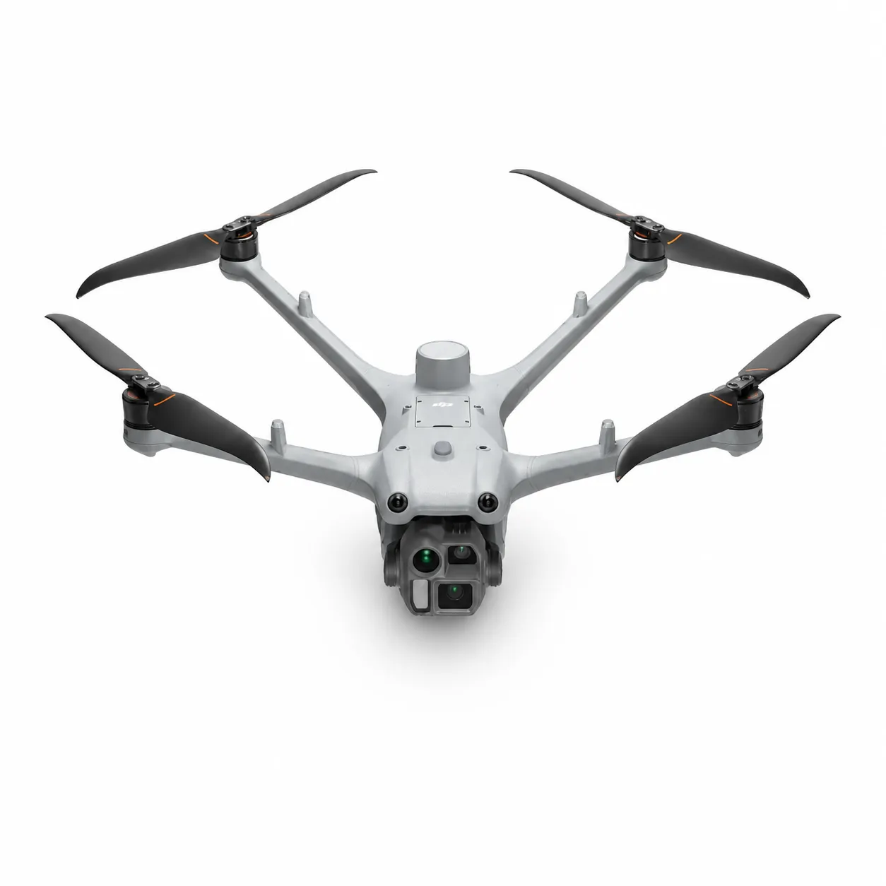
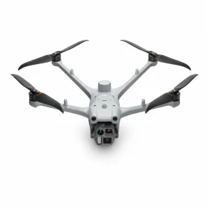
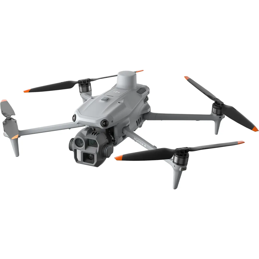
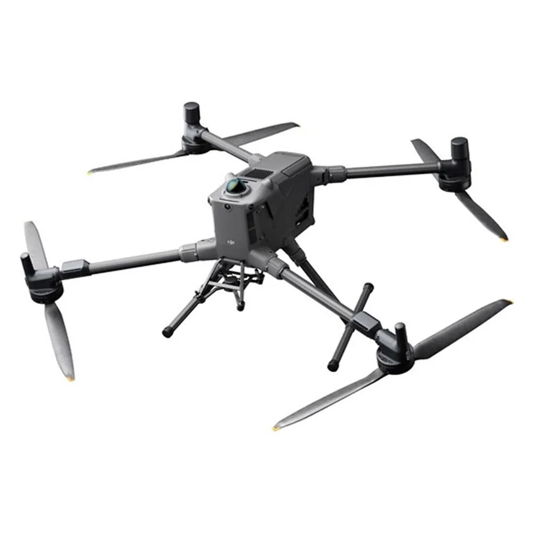
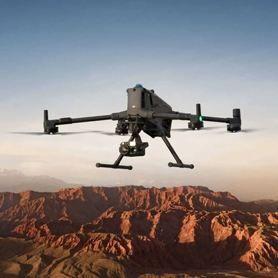
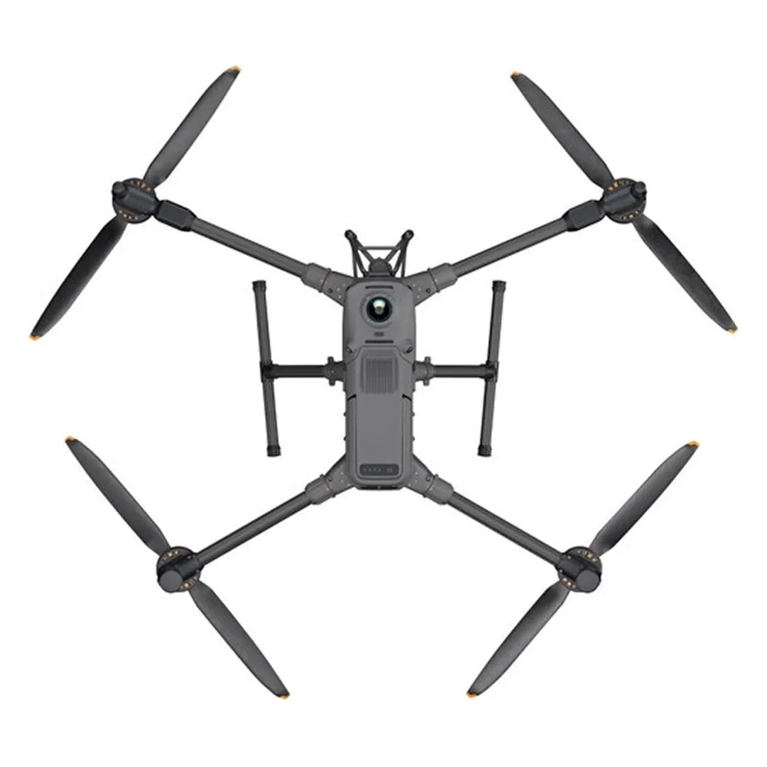
Mavic 3E’s mechanical shutter 4/3 camera and Mavic 3T’s thermal sensor in a compact 45-minute body.
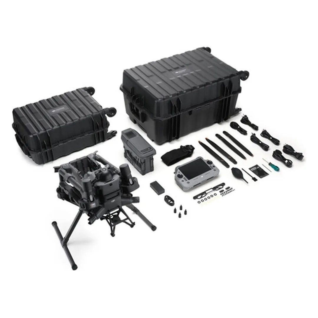
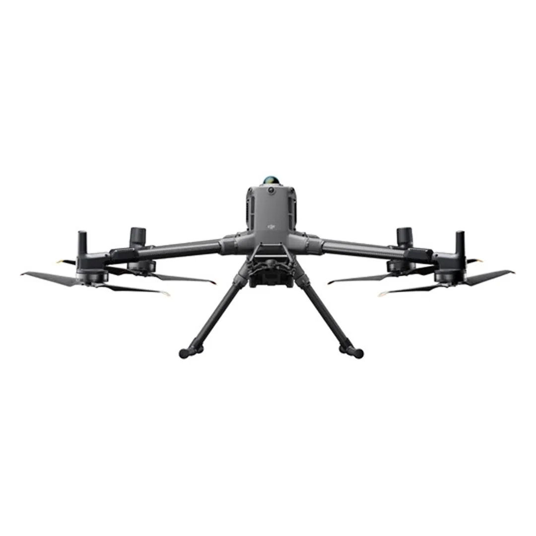
Mavic 3E and Mavic 3T
up to 45 min
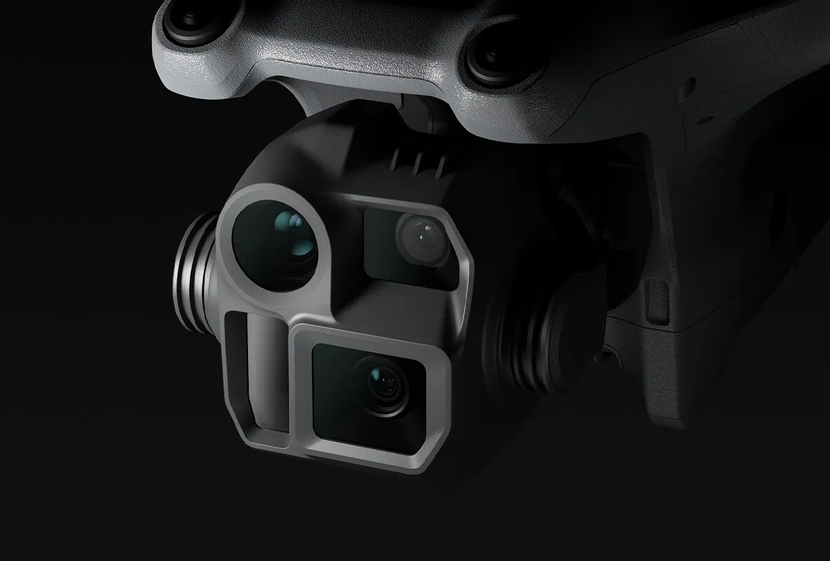
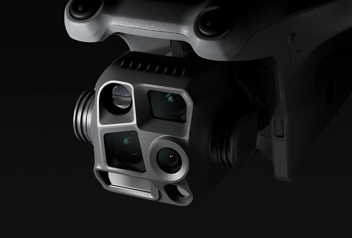
20 MP 4/3 CMOS, mechanical shutter
up to 56× hybrid zoom
640 × 512
up to 12 m/s
Product details
Platform and capabilities
The Enterprise platform integrates flight, sensor, RTK and mission software in a single workflow. The goal is not just to take a photo, but to collect data that is repeatable, georeferenced, and usable by the team.
Performance and output quality
Flight time is the maximum under laboratory conditions. In a real mission, taking into account payload, wind, altitude, temperature, maneuvering, sensing and communication reserve, the battery limit for safe return is predetermined.
Safety and reliability
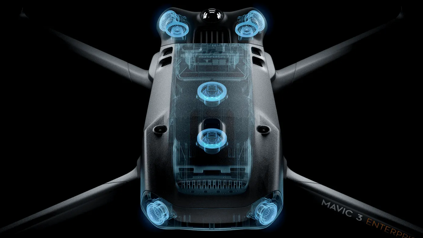
Before flight, check the manual for the assistance functions actually available on the selected model and configuration. Sensors and automatic return functions do not replace operator supervision. Assess the take-off area, GNSS quality, electromagnetic interference, people nearby and emergency landing locations in advance.
Professional workflow
The mission objective and desired outcome are determined, an appropriate payload and overlap are selected, a ground check is performed, and the mission is launched. After uploading data, quality control, processing, reporting and archiving steps are performed.
Specifications
| Options | Mavic 3E and Mavic 3T |
|---|---|
| Flight | up to 45 min |
| M3E camera | 20 MP 4/3 CMOS, mechanical shutter |
| Tele | up to 56× hybrid zoom |
| M3T Thermal | 640 × 512 |
| Wind | up to 12 m/s |
| Communication | FCC up to 15 km |
| Sensing | Omnidirectional |
| RTK | Optional module |
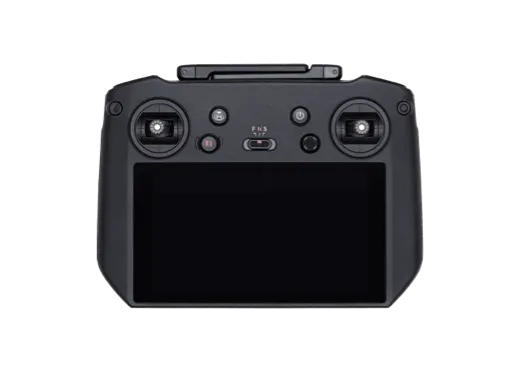
| Program | DJI Pilot 2 and Terra workflow |
What tasks is it suitable for?
- Cadastre and rapid mapping
- Solar panel and building thermal inspection
- Public safety
- Portable construction monitoring
Recommended operating procedure
- 1.Clearly define the task and expected outcome
- 2.Check flight area, weather, communications and risk factors
- 3.Select appropriate payload/module, battery and mission parameters
- 4.After a short test and pre-flight checklist, complete the main mission
- 5.Check the file, telemetry and output quality and archive the report
Compatible equipment and ecosystem
- Compatible Zenmuse or other payload
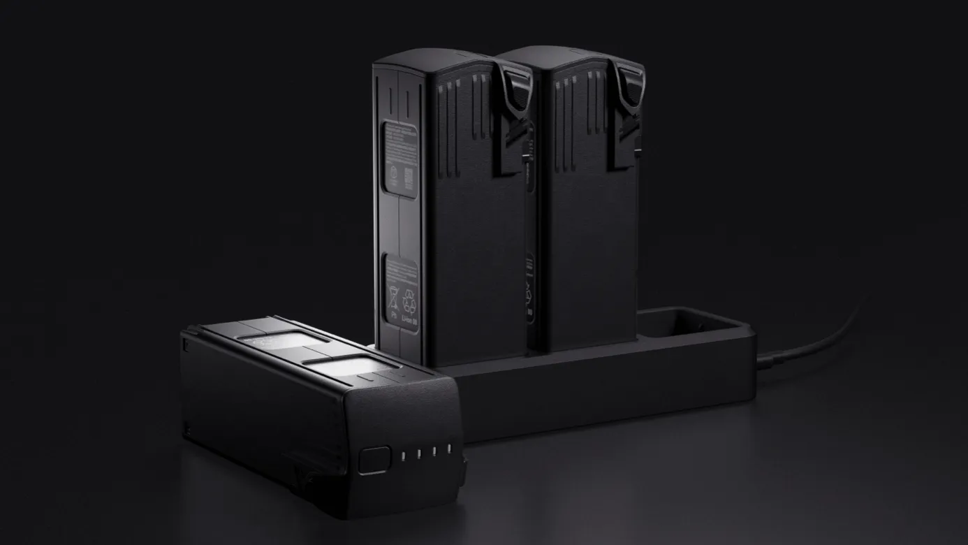
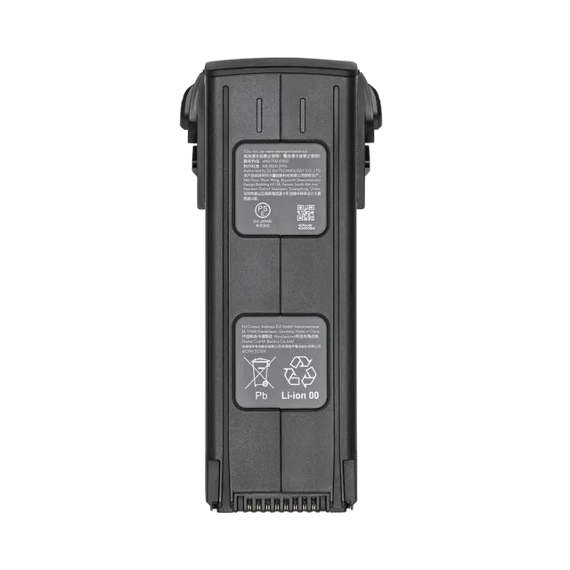
- Additional battery and charging station
- D-RTK 2 or NTRIP connection
- Cellular Dongle / enhanced communication
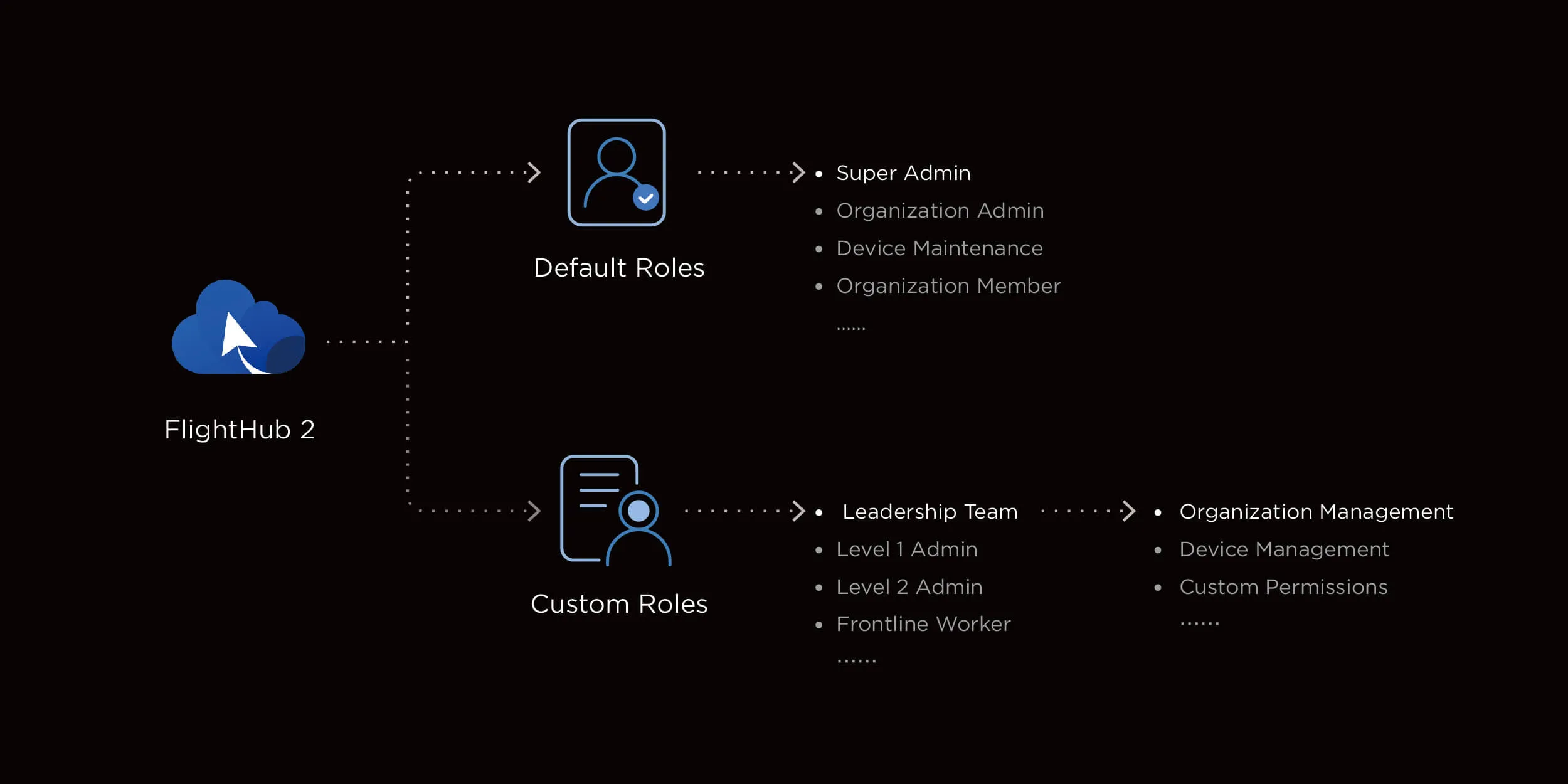
- DJI Terra or FlightHub 2 license
- Worry-Free Service and Parts
Implementation and maintenance
When the equipment is received, the firmware, serial number, battery status, sensor and mechanical parts are checked. A pre-flight checklist is performed before each work day, and a cleanup, file backup, and failure log are performed after the job is completed.
For a professional system, operator training, spare parts, seasonal service, battery maintenance routines and an emergency plan should be considered as part of the operation package.
Important notes before purchasing
The flight, distance, range, current and accuracy values shown are maximum or typical results under manufacturer test conditions. Actual performance depends on configuration, weather, altitude, material, payload, radio interference, and software version.
Before starting work, check the applicable aviation, registration, radio, privacy, chemical-handling and occupational-safety requirements in Uzbekistan and the intended operating area.



Reviews
There are no reviews yet.