
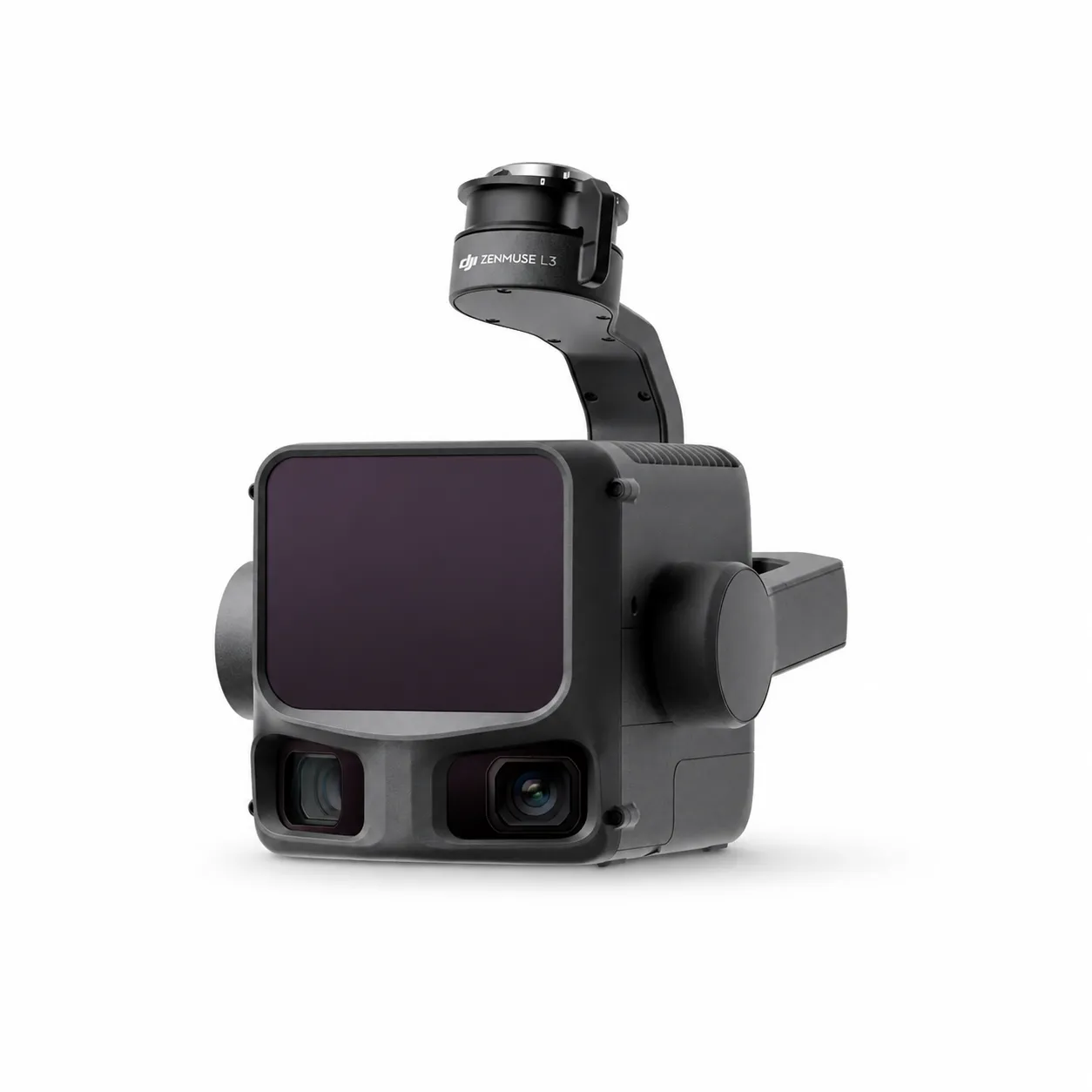
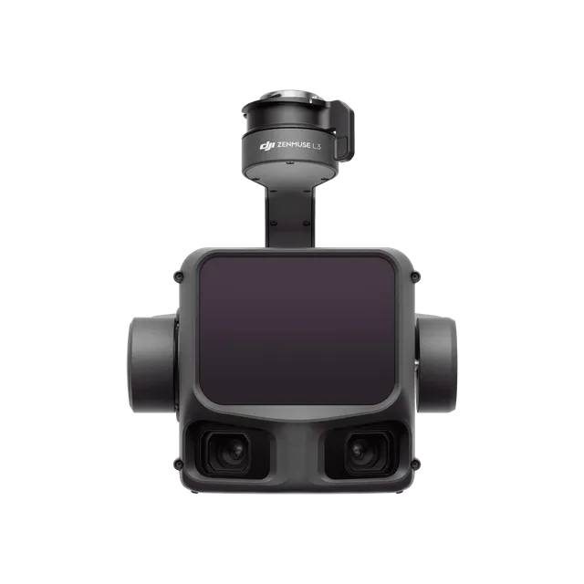
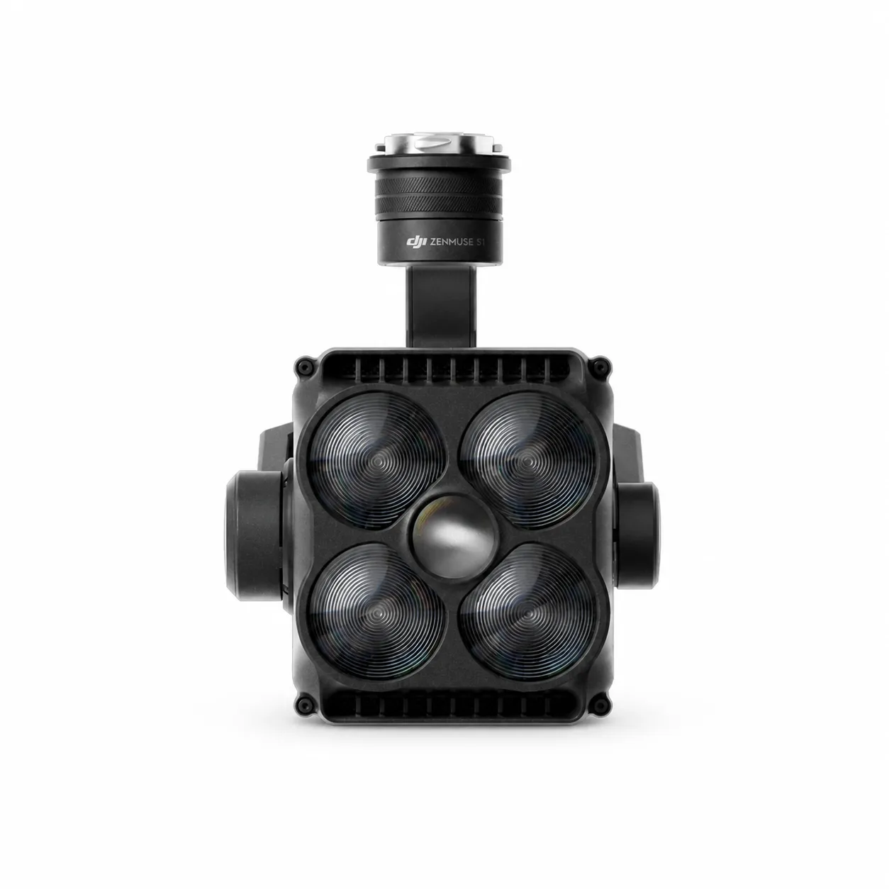
Zenmuse L3
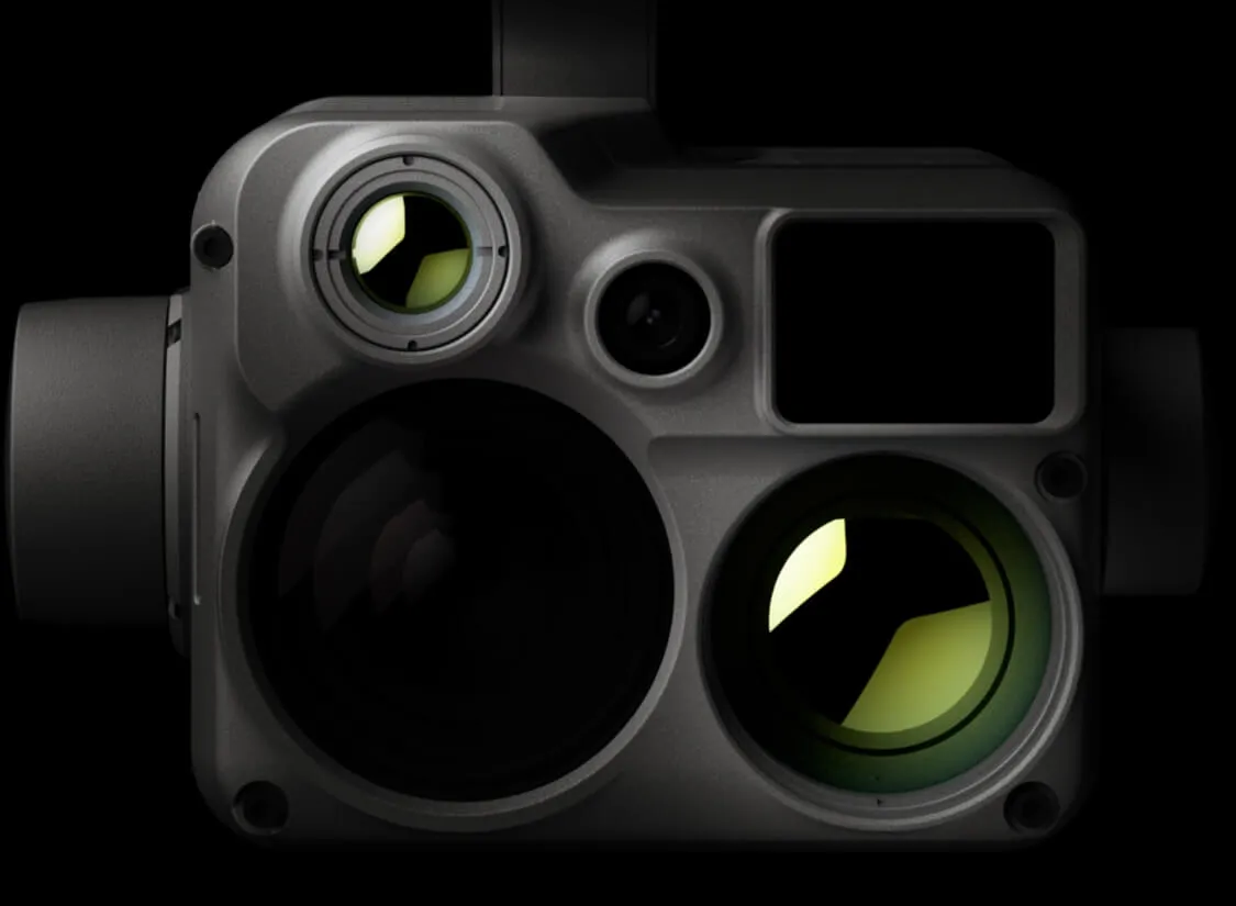
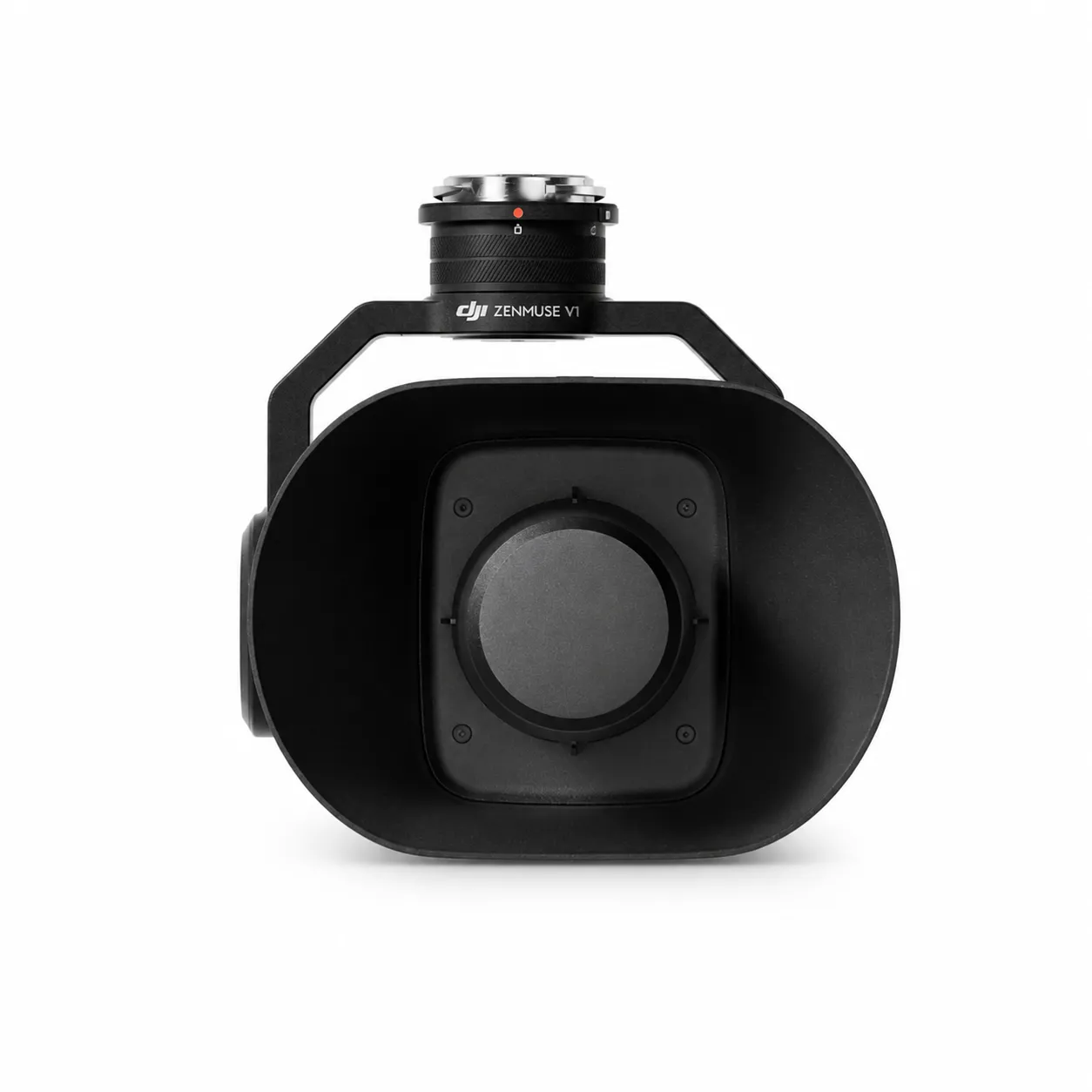
for high-speed mapping of large corridors with LiDAR up to 950 m, two 100 MP RGB cameras and Matrice 400.
up to 950 m, 10% reflectivity / 100 kHz
2 × 100 MP
3 cm vertical / 4 cm horizontal
up to 100 km², with M400
High density colored point cloud
RTK/IMU integration
Product details
Platform and capabilities
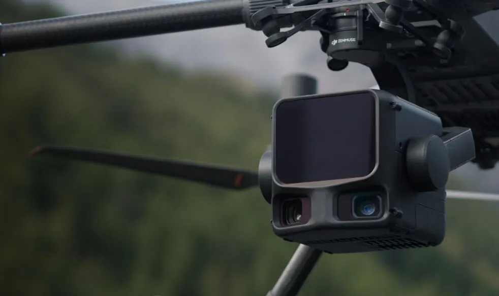
The Zenmuse payload integrates sensor, stabilization, time synchronization and drone telemetry into a single data stream. The correct payload selection is determined by the required accuracy, range, illumination and final deliverable.
Performance and output quality
Result depends on flight altitude, speed, overlap, object material, atmosphere, lighting and platform. Before the mission, it is recommended to take a test recording and check the focus, exposure, return and storage parameters.
Safety and reliability
Payload weight and aerodynamics affect flight reserve. During installation, gimbal lock, contacts, firmware compatibility and calibration are checked; laser, thermal or strong lighting functions are used in accordance with local safety regulations.
Professional workflow
Result Type determined, appropriate drone and payload attached, firmware/calibration checked, mission parameters entered. After the flight, file integrity, geotag, time synchronization and quality are checked, then processing and reporting are performed.
Specifications
| LiDAR range | up to 950 m, 10% reflectivity / 100 kHz |
|---|---|
| RGB camera | 2 × 100 MP |
| Resolution at 120 m | 3 cm vertical / 4 cm horizontal |
| Daily coverage | up to 100 km², with M400 |
| Result | High density colored point cloud |
| Navigation | RTK/IMU integration |
| Task | Large area and corridor mapping |
| Platform | DJI Matrix 400 |
What tasks is it suitable for?
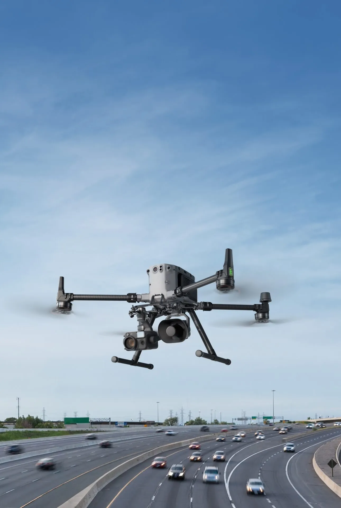
- Highway and rail corridors
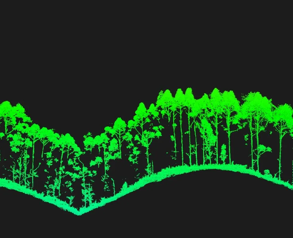
- Large forest and terrain survey
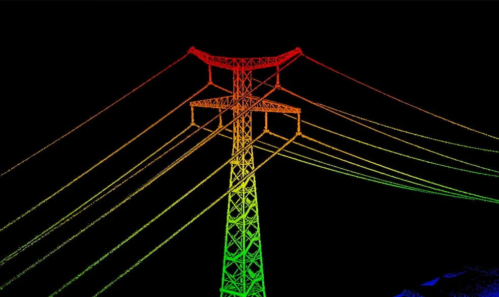
- Power grid
- Regional 3D model and digital twin
Recommended operating procedure
- 1.Clearly define the task and expected outcome
- 2.Check flight area, weather, communications and risk factors
- 3.Select appropriate payload/module, battery and mission parameters
- 4.After a short test and pre-flight checklist, complete the main mission
- 5.Check the file, telemetry and output quality and archive the report
Compatible equipment and ecosystem
- Compatible Matrice enterprise platform
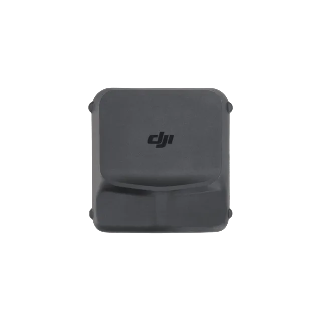
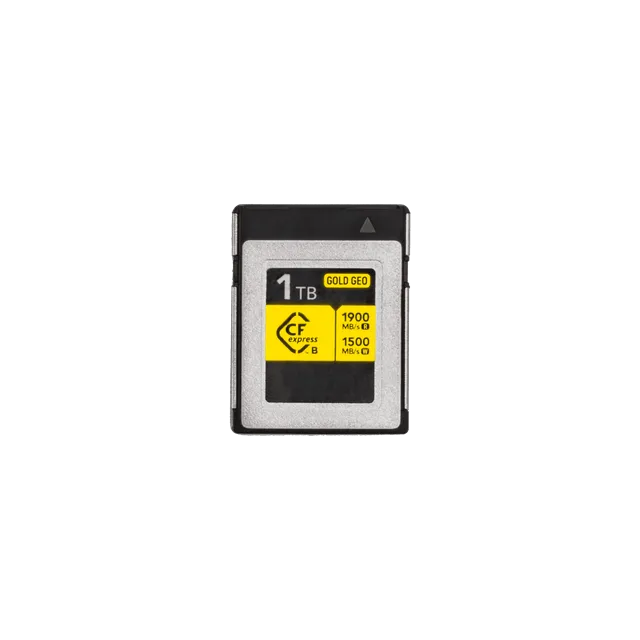
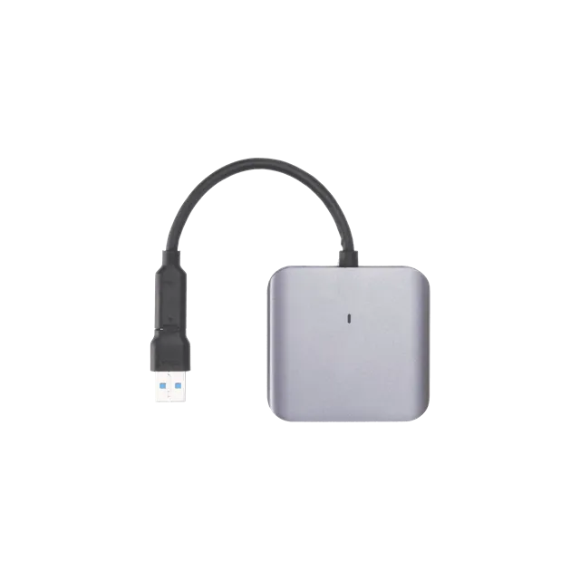
- High speed memory card or storage
- DJI Terra / FlightHub 2 workflow
- D-RTK 2 or NTRIP
- Extra batteries
- Calibration and service services
Implementation and maintenance
When the equipment is received, the firmware, serial number, battery status, sensor and mechanical parts are checked. A pre-flight checklist is performed before each work day, and a cleanup, file backup, and failure log are performed after the job is completed.
For a professional system, operator training, spare parts, seasonal service, battery maintenance routines and an emergency plan should be considered as part of the operation package.
Important notes before purchasing
The flight, distance, range, current and accuracy values shown are maximum or typical results under manufacturer test conditions. Actual performance depends on configuration, weather, altitude, material, payload, radio interference, and software version.
Before starting work, check the applicable aviation, registration, radio, privacy, chemical-handling and occupational-safety requirements in Uzbekistan and the intended operating area.

Reviews
There are no reviews yet.